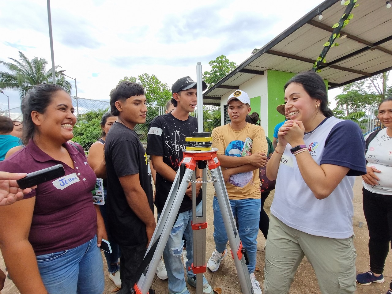
Women are increasingly registering their land and claiming their rights thanks to the gender-sensitive Multipurpose Cadastre.
Amid the rolling hills and lush valleys of Montes de María, near northern Colombia’s Caribbean coast, a combination of intense geography and the legacy of armed conflict have complicated the cadastral registration of many of these lands. It’s a challenge further complicated by the fact that land ownership here is not always clear or formalized.
“We almost always see men as those who appear on the titles and deeds of properties, farms and plots,” says Liz Merlano López, a female community leader from the Municipality of Morroa, in the Department of Sucre. She’s also a student at the new Intercultural School of Geography for Life, where she’s learning how to ensure the implementation of Colombia’s Multipurpose Cadastre with a gender perspective.
Unequal land distribution, land tenure insecurity and land-grabbing were at the heart of Colombia’s 57-year-long armed conflict, which displaced more than 6 million people – 58% women. The 2016 peace agreement, which had an unprecedented gender perspective, stipulates the need to prioritize rural women’s access to land, and called for the gender-sensitive formalization of land ownership and data disaggregated by sex and ethnicity to be added to the country’s cadastral land information system, a massive government effort to inventory each property in at least 70% of the country.
By learning how to register land in the Multipurpose Cadastre, Merlano López says she hopes “women’s names will also appear on titles and that they’ll be able obtain the legalization or formalization of their plots or farms.”
According to 2022 baseline calculations by UN Women and Colombia’s National Administrative Department of Statistics (DANE), only 36.3% of Colombia’s rural properties with a single owner belong to women, versus 63.7% belonging to men. Women also own smaller properties: 75.1% holding fewer than 3 hectares, versus 62.1% of men.
“The national Government is using these data to convert them into goals that allow us to reduce [gender] gaps,” explains Johan Andrés Avendaño, Research Director at the Agustín Codazzi Geographic Institute (IGAC). “A macro-level goal of the peace agreement, and of all entities that comprise the land administration system, is to achieve a greater percentage of titled women landowners. … That’s why the data about how only 36% of women own land, with very fragmented plots, is very important. Because it is the baseline that will allow us to measure the impact of the policy.”
He’s referring not only to the impact of peace-agreement-related policies, but also to the National Development Plan 2022–2026, which mainstreams gender equality across various articles and prioritizes gender statistics and new forms of measuring land tenancy (Article 91), thanks in part to the interventions of UN Women’s Women Count programme.
UN Women also has been supporting cross-country consultations, providing technical support on data collection and methodological work, and co-developing training and communications materials to ensure that the Multipurpose Cadastre is gender-sensitive, sustainable and able to produce quality data on Sustainable Development Goal Target 5.a. (on women’s land ownership). As a result, sex disaggregation was introduced in the Multipurpose Cadastre in 2020 and a ‘non-binary’ variable is forthcoming in 2024.
A UN Women and IGAC analysis of the eight municipalities in the Department of Boyacá – the first to implement the Multipurpose Cadastre in 2021 – reveals that the inclusion of variables and procedures to ensure cadastral registration with a gender and intersectional perspective has in fact contributed to a three-percentage-point increase in women’s registration of land ownership, rising from 39.1% in 2019 to 42.1% in 2022.
Having more informed cadastral operators has been key to this success. IGAC launched the new Intercultural School of Geography for Life to train cadastral operators in May 2023. UN Women helped develop the gender module and two others, as well as a methodological guide for field operators. The guide has also been used to train 250 IGAC policymakers and technicians, and in consultations and trainings for Indigenous and Afrodescendent communities tasked with operating all surveys in their territories.
“I come from territory where we’ve been dispossessed of our land,” explains Argelia Sisgado, an Afrodescendent leader from the town of María La Baja, in the Montes de María region of the Department of Bolívar, and a student of the Intercultural School of Geography for Life. “We’re fighting for our land, for our territory. I’m part of the coalition of women for land, and the defense of our land and territory, in Montes de María. … Many women in our territory have not been taken into account.”
